Conditions
Right now, from the lake to the pass
Readings from the lake to the pass, each with its own time.
The water is 59 degrees and the summit is 8 degrees cooler than the shore.
Every road we watch is listed below, the one with a problem first.
| Mt Rose summitStation, 8,904 ft. | 54° | 5 mph, gusts 8 |
|---|---|---|
| Diamond PeakStation, 7,335 ft. | 59° | 5 mph |
| TownStation, 6,495 ft. | 67° | 4 mph, gusts 8 |
| LakeshoreStation, 6,437 ft. | 62° | 5 mph, gusts 7 |
| Lake surface6,226.65 ft. | 59° |
The lake
Lake page Surface temperatureNearest buoy, NASA JPL and UC Davis 59°
Surface elevationTahoe City gauge, USGS 10337000 6,226.65 ft
Room to the legal maximum6,229.1 ft, USGS 2.45 ft
Wind at the waterNevada DOT 4 mph, gusts 10
Power
Outages Out nowNV Energy, Incline Village and Crystal Bay 0 out now
Roads
Roads page SR 28, the shore roadTahoe City to US 50 Open
Mt Rose Highway, SR 431 Open
Brockway Summit, SR 267Kings Beach to Truckee Open
Chain controls within 25 miles No chain controls
Reno airport No FAA delays at RNO
Air
Weather Air quality 42 AQI, good
NWS watches and warnings None listed
Fire
Fire page Evacuation notices None listed
Nearest active fire2027 Tmu Rx Support prescribed burn, containment unknown 22.2 miles
Red flag warning None listed
Mt Rose Highway, bottom to top
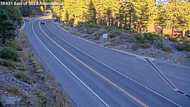
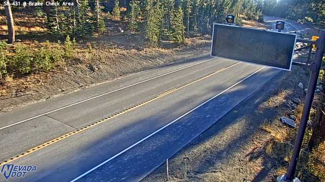
All camerasEast of SR28 SR-431, camera at 6,455 ft. Old snapshot from 5:01 PM, Oct 16 Brake Check Area SR-431, camera at 8,206 ft. Old snapshot from 5 PM, Oct 16
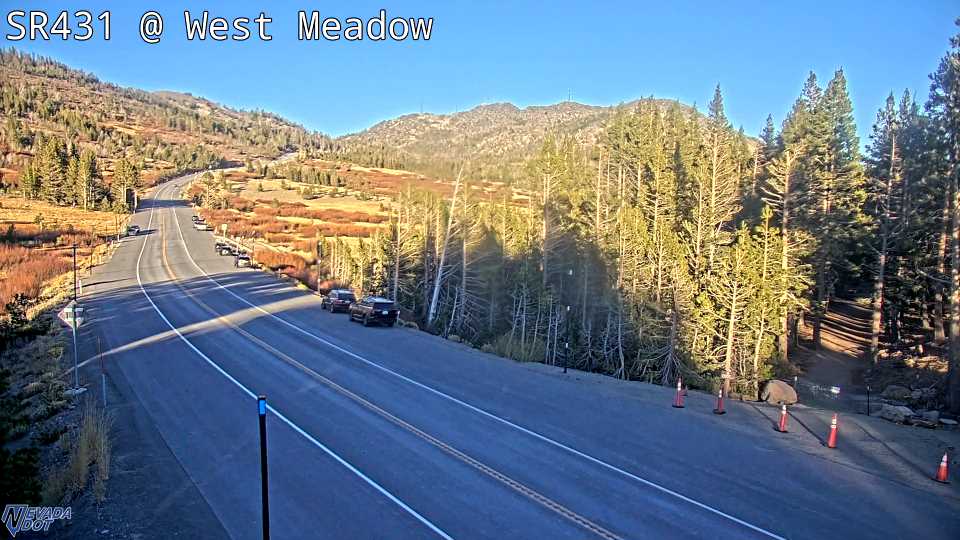
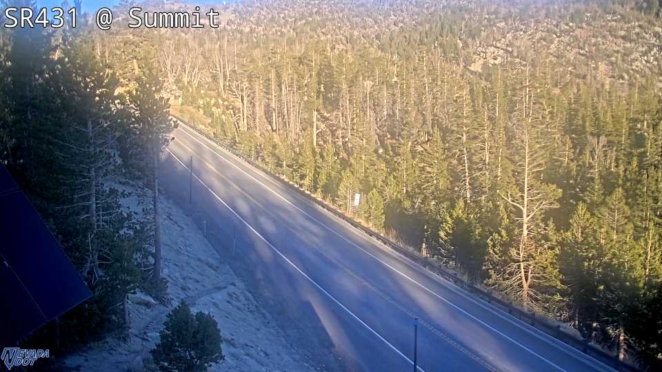
West Side Meadows SR-431, camera at 8,570 ft. Old snapshot from 5 PM, Oct 16 Mt Rose Summit SR-431, camera at 8,887 ft. Old snapshot from 5 PM, Oct 16
Nevada DOT cameras. Newest snapshot . Each frame refreshes while you watch.
The week ahead
Hour by hour and seven daysFriday through Sunday sunny, highs 63 to 67; Monday mostly sunny, high 57; Tuesday chance light rain, high 48, rain 53 percent; Wednesday chance rain and snow, high 46, rain 47 percent; Thursday chance light rain, high 47, rain 34 percent.