Mt Rose Highway and SR 28 right now
Roads by exception
Nevada 511Other roads nearby
US-50
Road cameras
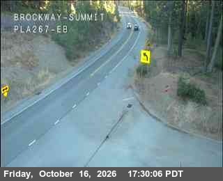
All webcamsEast of SR28 SR-431, 0.1 mi N, camera at 6,455 ft. Old snapshot from 5:01 PM, Oct 16 South of SR431 SR-28, 0.5 mi E, camera at 6,436 ft. Old snapshot from 5:01 PM, Oct 16 Brake Check Area SR-431, 3.3 mi NE, camera at 8,206 ft. Old snapshot from 5 PM, Oct 16 West Side Meadows SR-431, 4.4 mi NE, camera at 8,570 ft. Old snapshot from 5 PM, Oct 16 Hwy 267 at Brockway Summit SR-267, 5.3 mi W, camera at 7,194 ft. Old snapshot from 5 PM, Oct 16
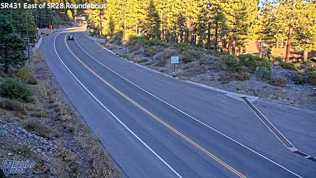
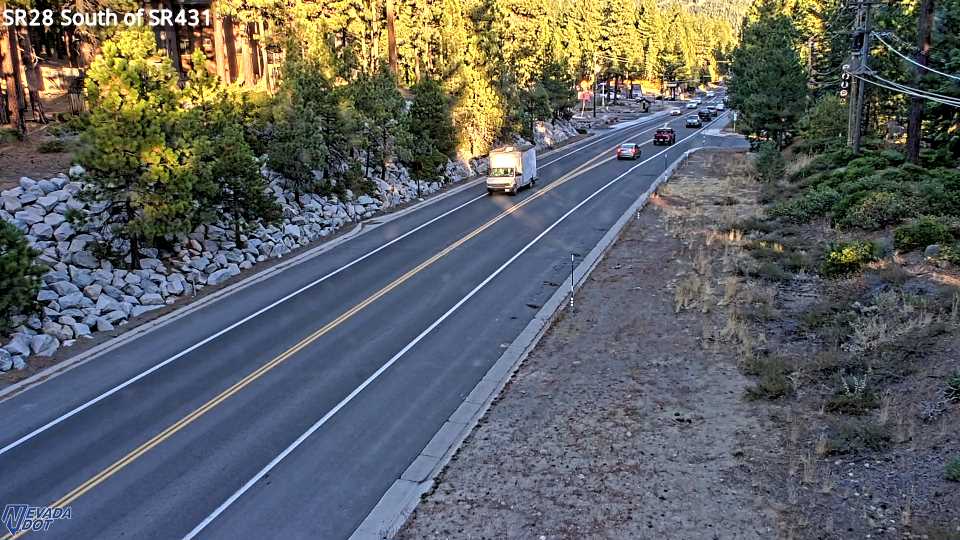
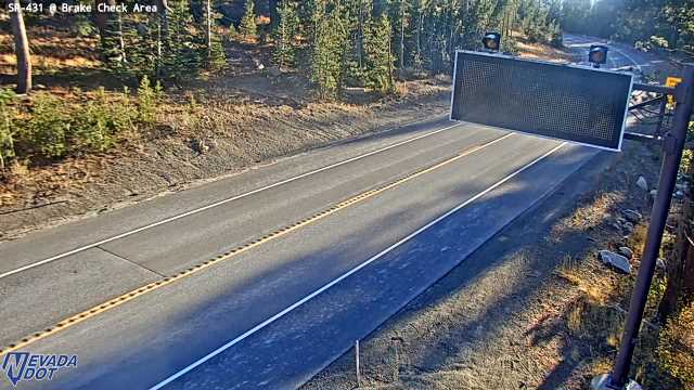
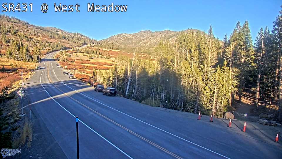
2nd Creek Dr SR-431, 0.2 mi NNE, camera at 6,508 ft. Old snapshot from 5 PM, Oct 16 Crystal Bay SR-28, 2.2 mi SW, camera at 6,438 ft. Old snapshot from 5 PM, Oct 16 Hwy 28 at Hwy 267 Kings Beach SR-28, 3.3 mi WSW, camera at 6,256 ft. Old snapshot from 5 PM, Oct 16 Sand Harbor SR-28, 4.6 mi SSE, camera at 6,261 ft. Old snapshot from 5 PM, Oct 16
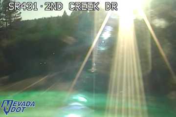
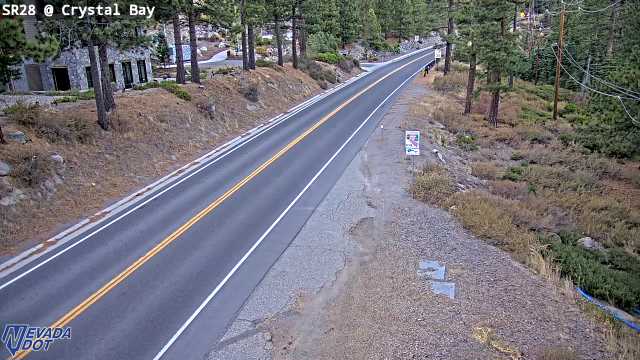
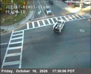
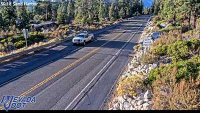
Nevada DOT and Caltrans cameras. Each frame shows its own source time and refreshes while you watch.
Mt Rose Highway, State Route 431, climbs from Incline Village to 8,911 feet and gets chain controls before any other road in town. SR 28 runs along the shore. SR 267 crosses Brockway Summit toward Truckee. Carry chains from November to April, even with 4 wheel drive.
3 ways out
Incline Village has 3 roads out of town.
- Mt Rose Highway (SR 431) climbs from town to 8,911 feet, then drops toward Reno. It is the highest road, so it gets chain controls first.
- SR 28 follows the shore. It runs through Incline Village and Crystal Bay. In a big storm, the stretch past Sand Harbor can close.
- SR 267 climbs out of Kings Beach and crosses Brockway Summit at 7,199 feet. It leads to Truckee.
A road that climbs 2,500 feet
Town sits at about 6,350 feet. The pass is at 8,911 feet. That gap is why you can leave town in rain and meet snow higher up. The upper road often sees snow weeks before town does.
In fall, aspens near the ski area turn gold.
What the chain codes mean
California posts 3 levels. R1: chains or snow tires on the drive wheels. 4 wheel drive and all wheel drive are exempt if all 4 tires are snow tires. R2: chains on every vehicle except 4 wheel drive with snow tires. R3: chains on every vehicle, no exceptions. Nevada posts its own wording, such as chains required. We repeat the exact words the state uses.
Before you drive
- Carry chains from November to April. Officers can turn you around without them.
- Check the weather page for wind and snow.
- Read the snow report if you are headed to Mt Rose or Diamond Peak.
- Bus riders: see the TART bus times.
Questions people ask
Is Mt Rose Highway open today?
SR 431 is a state highway that stays open all year, but storms, crashes and avalanche work can close it for hours. Our live status shows what Nevada 511 reports, with the time we read it.
When do I need chains on Mt Rose Highway?
When the state posts a chain control. That is most often in a storm from November to April. Carry chains in your car all winter, even with 4 wheel drive.
How high is Mt Rose Highway?
State Route 431 tops out at 8,911 feet at the Mt Rose summit. Incline Village is about 6,350 feet, so the road climbs about 2,500 feet.
How do you get out of Incline Village in a storm?
3 roads leave town. SR 431 goes up and over to Reno. SR 28 follows the shore. SR 267 crosses Brockway Summit to Truckee. Any of them can get chain controls.