Palisades Tahoe is closed. Our forecast for the mountain shows 0 in of snow in the next 3 days and 0 in in 7 days. It sits 15 miles from Incline Village. Every number shows its own time.

Mountain · California
Not open yet
Palisades Tahoe
Top 9,050 ft, 2,850 ft of vertical
The lifts are not running yet. Most Tahoe resorts open between early November and mid-December, snow permitting. Snow totals start here with the first storm; the forecast tab shows what is coming.
- Status
- Closed
- New snow, 24 hours
- Not reported
- New snow, 48 hours
- Not reported
- New snow, 7 days
- Not reported
- Base depth
- Not reported
- Lifts open
- Not open yet
- Air at the mountain
- 68°F forecast point 6,283 ft
- Wind at the mountain
- 1 mph forecast point 6,283 ft
- Gusts at the mountain
- 9 mph forecast point 6,283 ft
Snow, next 3 days0 in
Snow, next 7 days0 in
ElevationBase 6,200 ft, summit 9,050 ftForecast point 6,283 ft
| Day | Sky symbol | High and low °F | Sky, wind and snow | Rain chance |
|---|---|---|---|---|
| 68°F | Wind 7 mph, gusts 15 mph Snow 0 in | 0% | ||
| 71°F34°F | Wind 3 mph, gusts 13 mph Snow 0 in | 0% | ||
| 68°F32°F | Wind 6 mph, gusts 16 mph Snow 0 in | 0% | ||
| 61°F34°F | Wind 12 mph, gusts 28 mph Snow 0 in | 3% | ||
| 52°F30°F | Wind 8 mph, gusts 21 mph Snow 0 in | 54% | ||
| 50°F30°F | Wind 7 mph, gusts 16 mph Snow 0 in | 54% | ||
| 50°F31°F | Wind 5 mph, gusts 13 mph Snow 0 in | 39% |
See the chart as a table
| Day | High °F | Low °F | Snow in |
|---|---|---|---|
| Fri, Oct 16 | 68 | 0 | |
| Sat, Oct 17 | 71 | 34 | 0 |
| Sun, Oct 18 | 68 | 32 | 0 |
| Mon, Oct 19 | 61 | 34 | 0 |
| Tue, Oct 20 | 52 | 30 | 0 |
| Wed, Oct 21 | 50 | 30 | 0 |
| Thu, Oct 22 | 50 | 31 | 0 |
Our forecast for the point at Palisades Tahoe, 6,283 ft, updated .
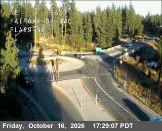
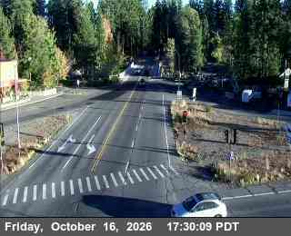
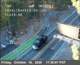
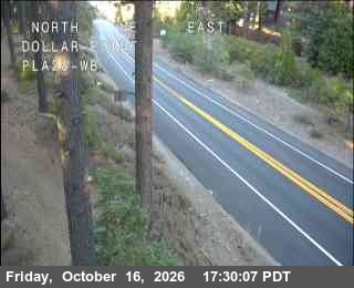
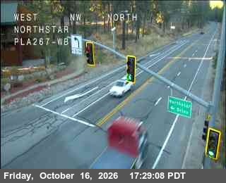
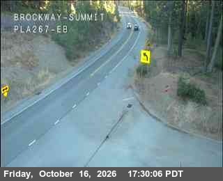
Road cameras on the way to Palisades Tahoe and nearby, nearest first. They show the road and the weather on the hill. The mountain's own slope cameras are not in our feed yet.
Hwy 89 at Fairway Dr SR-89, 5.1 mi ESE, camera at 6,286 ft. Old snapshot from 5:29 PM, Oct 16 Hwy 89 at Hwy 28 SR-89, 5.2 mi ESE, camera at 6,246 ft. Old snapshot from 5:30 PM, Oct 16 Hwy 89 at Granlibakken SR-89, 5.4 mi ESE, camera at 6,256 ft. Old snapshot from 5:30 PM, Oct 16 Hwy 28 at Dollar SR-28, 7.0 mi E, camera at 6,528 ft. Old snapshot from 5:30 PM, Oct 16 Hwy 267 at Northstar SR-267, 9.4 mi NE, camera at 6,197 ft. Old snapshot from 5:29 PM, Oct 16 Hwy 267 at Brockway Summit SR-267, 9.8 mi ENE, camera at 7,194 ft. Old snapshot from 5:30 PM, Oct 16

Palisades Tahoe is a ski area in California, about 15 miles from Incline Village in a straight line. The base is 6,200 feet and the top is 9,050 feet.
- Base6,200 ft
- Summit9,050 ft
- Vertical, as the resort counts it2,850 ft
Parking
Parking is set by the resort. We have not checked it for this season, so look before you drive.
Tickets and passes
The resort sets ticket prices and pass rules. They change by date, so we do not print them.
- Palisades Tahoe
How to read Palisades Tahoe today
Palisades Tahoe sits about 15 miles west-southwest of Incline Village, in California. The base is 6,200 feet and the top is 9,050 feet. The resort counts 2,850 feet of vertical.
New snow is what fell in the last 24 hours. Base depth is the snow on the ground. A big base with no new snow means good grooming but no fresh powder. Look at the strip above: the five boxes on the left are what fell, the five on the right are what our forecast expects.
Our forecast point for Palisades Tahoe sits at 6,283 feet. The summit is higher, so it is colder and windier up there. The 7 day total is 0 inches of snow. Open the Forecast tab for each day.
Road cameras near the mountain are on the Cams tab, nearest first. Check chain controls on the roads page before you drive.