Grouped by road, nearest first. Each picture shows its own time. A picture over an hour old is dimmed and marked Status unknown. Camera pictures are cropped to hide the text at the top and bottom.
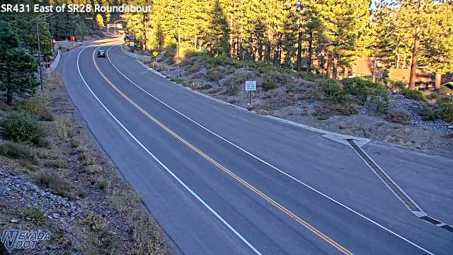
- East of SR28 SR-431
- Truck Escape Ramp SR-431
- 2nd Creek Dr SR-431
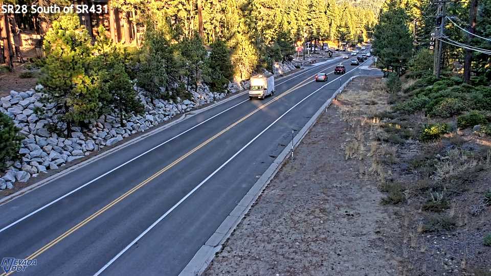
- South of SR431 SR-28
- Country Club Dr SR-431
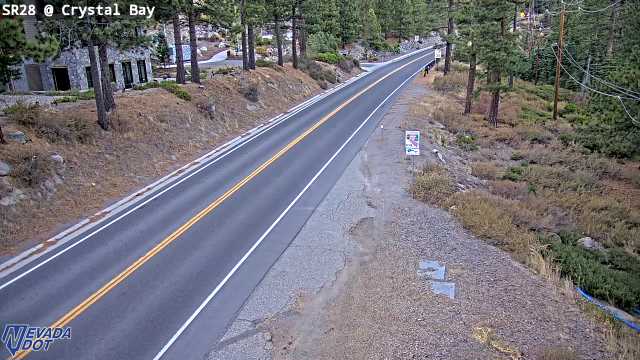
- Crystal Bay SR-28
- Diamond Peak SR-431
- Brake Check Area SR-431
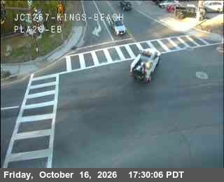
- Hwy 28 at Hwy 267 Kings Beach SR-28
- West Side Meadows SR-431
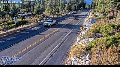
- Sand Harbor SR-28
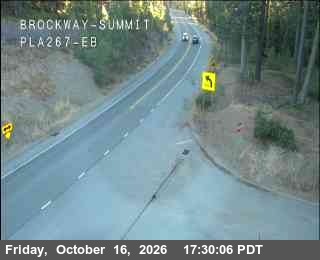
- Hwy 267 at Brockway Summit SR-267
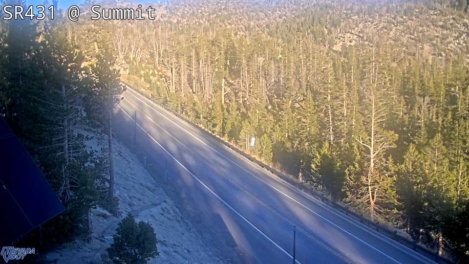
- Mt Rose Summit SR-431
- Mt. Rose Dugway SR-431
- Mt Rose Ski Area SR-431
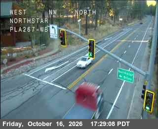
- Hwy 267 at Northstar SR-267
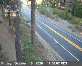
- Hwy 28 at Dollar SR-28
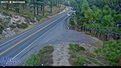
- Bullseye SR-431
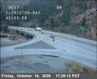
- Hwy 80 at Floriston I-80
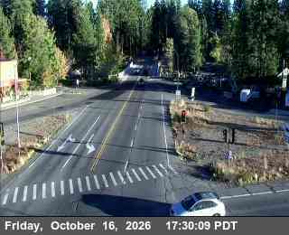
- Hwy 89 at Hwy 28 SR-89
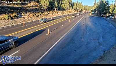
- Spooner Summit US-50
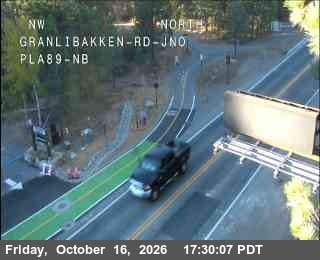
- Hwy 89 at Granlibakken SR-89
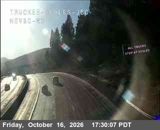
- Hwy 80 at Truckee Scales WB I-80
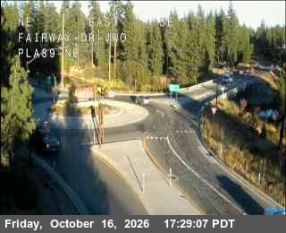
- Hwy 89 at Fairway Dr SR-89
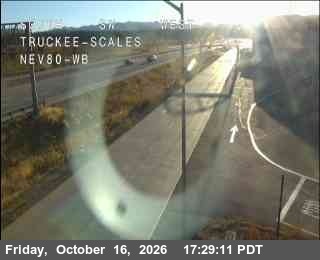
- Hwy 80 at Truckee Scales I-80
- Golf Club US-50
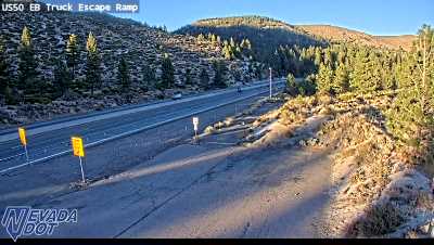
- Truck Escape Ramp US-50
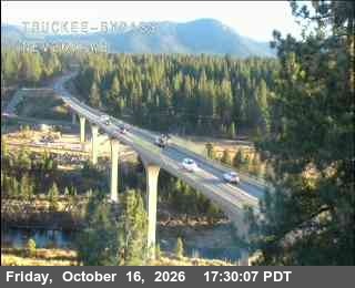
- Hwy 267 at Truckee Bypass SR-267
- Glenbrook US-50
Down right now
- Truck Escape Ramp SR-431
- Country Club Dr SR-431
- Diamond Peak SR-431
- Mt. Rose Dugway SR-431
- Golf Club US-50
- Glenbrook US-50
A camera that sends a "no picture" card or has no saved picture is listed here. A picture over an hour old stays in the grid, dimmed and marked Status unknown.
Mt Rose Highway, SR 431
6 camerasEast of SR28 SR-431, 0.1 mi N, camera at 6,455 ft. Old snapshot from 5:30 PM, Oct 16 2nd Creek Dr SR-431, 0.2 mi NNE, camera at 6,508 ft. Old snapshot from 5:30 PM, Oct 16 Brake Check Area SR-431, 3.3 mi NE, camera at 8,206 ft. Old snapshot from 5:30 PM, Oct 16 West Side Meadows SR-431, 4.4 mi NE, camera at 8,570 ft. Old snapshot from 5:30 PM, Oct 16 Mt Rose Ski Area SR-431, 7.1 mi NE, camera at 8,249 ft. Old snapshot from 5:30 PM, Oct 16 Bullseye SR-431, 8.4 mi NE, camera at 6,928 ft. Old snapshot from 5:30 PM, Oct 16
The shore road, SR 28
5 camerasSouth of SR431 SR-28, 0.5 mi E, camera at 6,436 ft. Old snapshot from 5:30 PM, Oct 16 Crystal Bay SR-28, 2.2 mi SW, camera at 6,438 ft. Old snapshot from 5:30 PM, Oct 16 Hwy 28 at Hwy 267 Kings Beach SR-28, 3.3 mi WSW, camera at 6,256 ft. Old snapshot from 5:30 PM, Oct 16 Sand Harbor SR-28, 4.6 mi SSE, camera at 6,261 ft. Old snapshot from 5:30 PM, Oct 16 Hwy 28 at Dollar SR-28, 8.0 mi WSW, camera at 6,528 ft. Old snapshot from 5:30 PM, Oct 16
Brockway Summit, SR 267
3 camerasHwy 267 at Brockway Summit SR-267, 5.3 mi W, camera at 7,194 ft. Old snapshot from 5:30 PM, Oct 16 Hwy 267 at Northstar SR-267, 7.4 mi WNW, camera at 6,197 ft. Old snapshot from 5:29 PM, Oct 16 Hwy 267 at Truckee Bypass SR-267, 11.7 mi WNW, camera at 5,866 ft. Old snapshot from 5:30 PM, Oct 16
Interstate 80 at Truckee
3 camerasHwy 80 at Floriston I-80, 10.3 mi NNW, camera at 5,291 ft. Old snapshot from 5:29 PM, Oct 16 Hwy 80 at Truckee Scales WB I-80, 11.2 mi NW, camera at 5,820 ft. Old snapshot from 5:30 PM, Oct 16 Hwy 80 at Truckee Scales I-80, 11.4 mi NW, camera at 5,826 ft. Old snapshot from 5:29 PM, Oct 16
The west shore, SR 89
3 camerasHwy 89 at Hwy 28 SR-89, 10.9 mi WSW, camera at 6,246 ft. Old snapshot from 5:30 PM, Oct 16 Hwy 89 at Granlibakken SR-89, 11.1 mi SW, camera at 6,256 ft. Old snapshot from 5:30 PM, Oct 16 Hwy 89 at Fairway Dr SR-89, 11.2 mi WSW, camera at 6,286 ft. Old snapshot from 5:29 PM, Oct 16
Spooner Summit, US 50
2 camerasSpooner Summit US-50, 11.0 mi SSE, camera at 7,156 ft. Old snapshot from 5:30 PM, Oct 16 Truck Escape Ramp US-50, 11.5 mi SE, camera at 5,870 ft. Old snapshot from 5:30 PM, Oct 16