Read the Nevada 511 status below to see if Mt Rose Highway is open, closed or has road limits. Each reading has a time. If the feed is too old, the status is unknown. Use the state link before you drive. The cameras show the road at their own times.
Nevada 511 road status
Nevada 511Open
Nevada 511 status for Mt Rose Hwy, as of . See Nevada 511 before you drive.
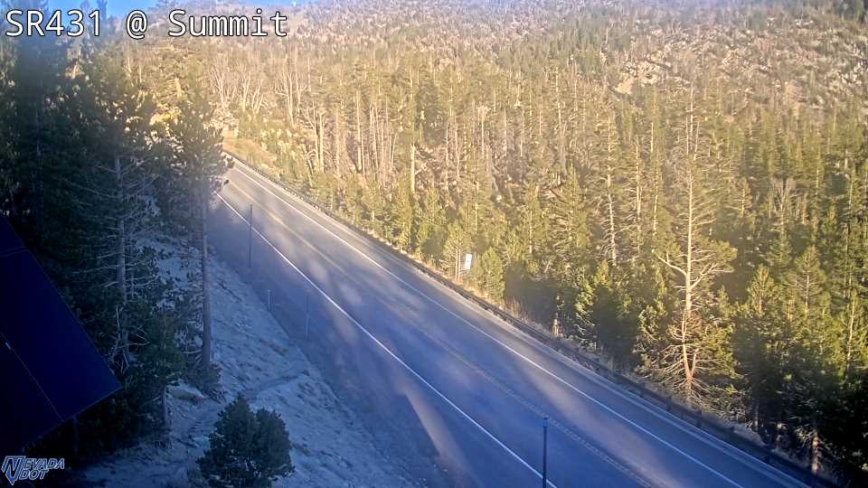
Summit right now
Pass height: 8,911 ft.
Shore station: SR-28 Crystal Bay, .
Snow on the pass, next 3 days
NWS forecast point at 7,864 ft. Issued .
| Day | Snow |
|---|---|
| 0 in | |
| 0 in | |
| 0 in |
Cameras, from the lake toward Reno
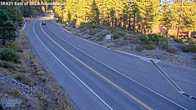
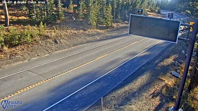
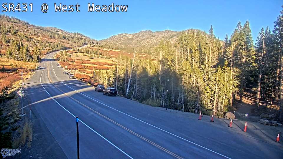
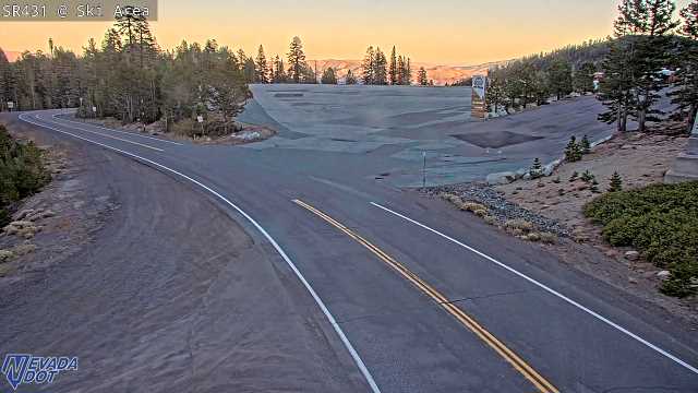
East of SR28 SR-431, camera at 6,455 ft. Old snapshot from 6 PM, Oct 16 2nd Creek Dr SR-431, camera at 6,508 ft. Old snapshot from 6 PM, Oct 16 Brake Check Area SR-431, camera at 8,206 ft. Old snapshot from 6 PM, Oct 16 West Side Meadows SR-431, camera at 8,570 ft. Old snapshot from 6:01 PM, Oct 16 Mt Rose Ski Area SR-431, camera at 8,249 ft. Old snapshot from 6 PM, Oct 16 Bullseye SR-431, camera at 6,928 ft. Old snapshot from 6 PM, Oct 16
Down now: Truck Escape Ramp, Country Club Dr, Diamond Peak, Mt. Rose Dugway. Nevada 511
Closure history
Daily road log0 road closures and 2 other events since Oct 7, 2026. Nevada 511 events in our log.
| Started | Ended | How long | What happened |
|---|---|---|---|
| 1 h 40 min | Minor Crash blocking lanes on SR-431 Eastbound Near Mt Rose Summit Parking Lot. Lane Affected | ||
| 0 h 38 min | Crash on SR-431 Northbound Near De Spain Ln. 1 Left lane closed |
The end time is when Nevada 511 stopped listing an event. It may differ from the time the road reopened. Elapsed times run through .
Chains and snow tires
NDOT sets the chain rules on Mt Rose Highway. During chain controls, use approved chains, or four-wheel or all-wheel drive with snow tires. Read the NDOT rules for the full list. Follow the signs on the road.
Snow tires need an M+S mark and at least 3/16 inch of tread, per NDOT. Rigs over 10,000 pounds and cars that tow a trailer need chains. A road camera shows one spot. It does not show how icy the road is.
NDOT says to carry chains, slow down in snow and leave more space. Four-wheel drive alone does not mean a car will stop better on ice. See the state winter guide before a storm trip.
More live tools
Questions people ask
Is Mt Rose Highway open today?
Do I need chains on Mt Rose Highway?
How high is the Mt Rose Highway summit?
Why is Mt Rose Highway closed?
Where can I see Mt Rose Highway cameras?
How to read this page
Each row shows the time of its own data. Where the numbers come from is in "How we know" at the end of the page.
Feeds on this page
- Road conditions and chain controlslimit 30 min
- Weather, air quality and NWS alertslimit 30 min